


Cloud Data Migrations in the AI Era – Prepare Smart. Balance Risks. Thrive.
Cloud data migration is more than an IT move—it’s a business transformation. This article guides you through AI-driven strategies to

AI Didn’t Fail; Your Data Warehouse Did
After decades in IT project management and business analysis, one truth has stayed constant: when AI projects fail, it’s rarely

Surgerii Robotics Secures $100M Series D Funding Round
Beijing’s Surgerii Robotics lands $100M Series D for SHURUI single-port robot growth. Funding fuels global push in minimally invasive surgery—details

Generative Bionics: The Italian Humanoid Robotics Spin-Out Bringing Physical AI to the Factory Floor
Generative Bionics, an Italian spin-out from IIT, is building Physical AI–powered humanoid robots to tackle labor gaps and modernize industrial
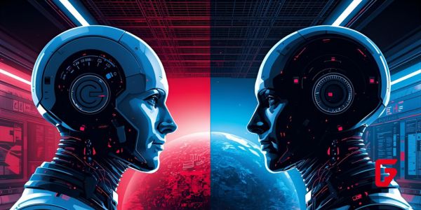
OpenAI vs. Google AI, SpaceX & Blue Origin Race for Space Data Centers, Meta’s AI Pivot, and Robotics Breakthroughs
Stay ahead of AI and space tech wars: OpenAI vs Google AI, SpaceX and Blue Origin’s race for orbital data
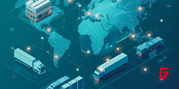
10 AI-Driven Supply Chain Optimization Companies to Watch in 2026
This article explores 10 AI-driven supply chain optimization companies to watch in 2026, highlighting how their platforms improve forecasting, logistics,
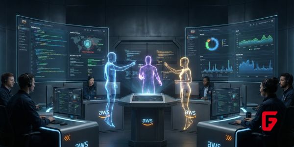
AWS Frontier Agents: Autonomous AI Coders That Build, Secure, and Run Apps for Days Without Human Oversight
AWS frontier agents introduce a new era of autonomous AI coders that can build, secure, and run applications for days
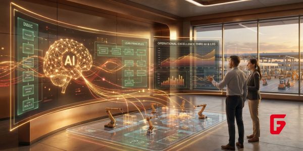
How AI Is Transforming Lean Six Sigma: The New Era of Operational Excellence 2.0
Explore the cutting-edge ways AI is enhancing Lean Six Sigma, from real-time process insights to predictive controls, ushering in a

Top Supply Chain Challenges in 2025 — and How High-Performing Teams Use AI to Solve Them
Facing supply chain challenges in 2025? High-performing teams leverage AI for risk management, demand forecasting, supplier analytics, and end-to-end visibility
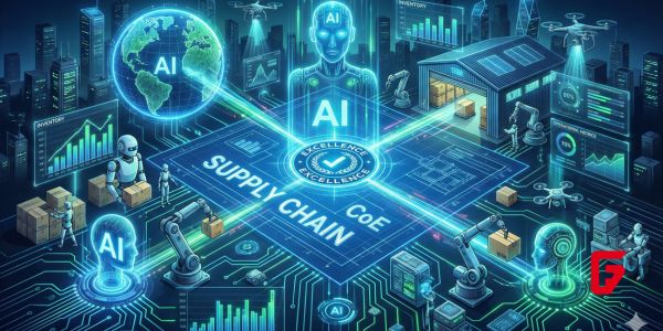
How to Build a High-Impact Supply Chain Center of Excellence (CoE):A Blueprint for Operational and Inventory Excellence in the Age of AI
Craft an AI-powered supply chain Center of Excellence that unifies control tower visibility, analytics, and inventory optimization into one strategic
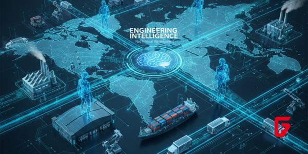
The Future of Supply Chain Leadership: Why the Next Generation Will Engineer Intelligence, Not Just Manage It
Supply chain leadership is being redefined by AI, intelligent automation, and agentic decision-making, demanding leaders who can engineer end-to-end intelligence
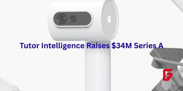
Tutor Intelligence Raises $34M Series A: AI Robots Revolutionizing Warehouse Automation
Tutor Intelligence just landed $34 million in Series A funding. Led by Union Square Ventures, this cash boosts their AI-powered