AlphaEarth Foundations: Google DeepMind’s Leap Toward a Digital Earth Twin
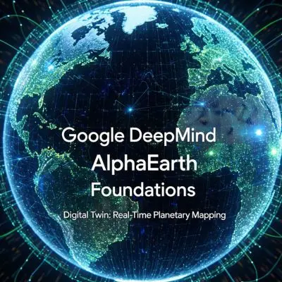
Google DeepMind’s AlphaEarth Foundations sets a new standard for real-time global digital mapping, integrating AI with satellite data for unrivaled environmental insights.
Greece Deploys First Homegrown Satellite DUTHSat-2 for Marine Pollution Monitoring
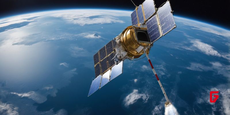
Greece’s first domestically built satellite, DUTHSat-2, is now in orbit, using advanced sensors to detect and monitor marine pollution from space.
Vasundhara

Vasundharaa Geo Technologies is an Indian geospatial technology company developing remote sensing and artificial intelligence solutions for analyzing satellite, aerial, and ground-based sensor data. Its technology uses deep learning, image processing, and automated change detection to identify geographic patterns and monitor environmental and infrastructure conditions. The company’s Vasundharaa Geo Portal provides tools for visualizing and processing geospatial datasets, supporting applications such as forest monitoring, agricultural analysis, disaster management, and defense surveillance. Its work connects Earth observation data with automated analytics to help organizations interpret geographic changes and make location-based decisions.
Hydrosat

Hydrosat is a space technology company developing thermal infrared satellite technology and geospatial analytics for monitoring environmental and industrial conditions. Its satellite imaging systems capture thermal data that helps identify crop water stress, drought conditions, temperature variations, and changes in land and resource use. The company’s Discovery Platform combines satellite observations with proprietary algorithms to support agricultural intelligence, water resource management, and risk assessment. Hydrosat also provides thermal monitoring solutions for government and commercial organizations tracking infrastructure, industrial activity, and environmental changes across large geographic areas.
Planet

Planet Labs is a space technology company operating Earth observation satellite constellations and providing geospatial imagery and analytics for commercial and government organizations. Its PlanetScope constellation captures daily imagery of Earth’s landmass, while SkySat and Pelican satellites support higher-resolution monitoring and targeted observations. The company’s satellite data products enable organizations to track changes in agriculture, forests, infrastructure, and other geographic areas over time. Planet Labs combines frequent satellite imaging with historical datasets and geospatial analysis tools to support environmental monitoring, resource management, and intelligence applications.
Wyvern

Wyvern is a space technology company developing hyperspectral imaging satellites and Earth observation data products for monitoring environmental and industrial conditions. Its Dragonette satellite constellation captures imagery across multiple narrow spectral bands, enabling the detection of surface characteristics that conventional satellite images may not reveal. The company’s technology supports applications in agriculture, vegetation monitoring, mineral exploration, and environmental analysis. Wyvern also develops advanced optical systems and next-generation hyperspectral satellites designed to expand spectral coverage and improve the quality of geospatial information.
Pixxel

Pixxel is a space technology company developing hyperspectral imaging satellites and Earth observation data platforms for environmental monitoring, agriculture, energy, and industrial applications. Its Firefly satellite constellation captures imagery across 135 spectral bands, enabling the identification and analysis of materials, vegetation, water conditions, and changes on Earth’s surface. The company also provides Aurora, a geospatial data platform for accessing and analyzing satellite imagery. Pixxel combines satellite sensor technology, spectral data processing, and geospatial analytics to support environmental intelligence and resource monitoring.