
















BirdsEyeView

Company Information

BirdsEyeView Technologies builds geospatial natural catastrophe models and hazard analytics tools for insurance underwriting. Covers flood, wildfire, wind, hail and more with global data.

Headquarters

London, England

Year Founded

2020

Industries

Insurance, Reinsurance, Financial Services, Climate Technology, Geospatial Analytics, Property Insurance, Risk Management

What Is BirdsEyeView?

BirdsEyeView Technologies is a British insurtech company developing AI-powered catastrophe risk modeling and exposure management software for the insurance industry. Its technology combines climate science, geospatial data, machine learning, and probabilistic hazard models to assess risks associated with natural disasters. Through its CERA platform, the company provides insurers, reinsurers, brokers, and managing general agents (MGAs) with tools for evaluating environmental hazards, understanding insured property exposure, and supporting data-driven underwriting decisions.

What Does BirdsEyeView Do?

BirdsEyeView develops software that helps insurance organizations assess and manage financial exposure to natural catastrophes, including floods, wildfires, tropical cyclones, earthquakes, and severe storms.

Its CERA catastrophe intelligence platform processes property location data, analyzes environmental hazards, and generates risk information that underwriters can use when evaluating insurance submissions. The platform also supports portfolio exposure management, allowing insurers and brokers to identify concentrations of insured assets in areas vulnerable to natural disasters.

BirdsEyeView provides tools for cleaning and geolocating insurance submission data, modeling catastrophe scenarios, monitoring active weather events, and generating exposure reports. Its technology integrates with underwriting and pricing systems through APIs, enabling insurance professionals to incorporate catastrophe risk information into existing workflows.

ADVERTISEMENT
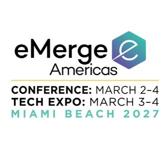
eMerge Americas 2027 Conference

BirdsEyeView Technology

BirdsEyeView combines artificial intelligence, geospatial analytics, and probabilistic catastrophe modeling to evaluate natural hazard exposure across individual properties and insurance portfolios.
Its CERA platform incorporates satellite imagery, historical catastrophe records, climate datasets, and location-specific environmental information. The company develops physics-based hazard models that estimate the probability, frequency, and severity of natural events, including flooding, wildfire, tropical cyclones, and severe convective storms.

Machine learning supports the processing and interpretation of large environmental datasets, while AI-powered data ingestion and geolocation help standardize unstructured property information submitted by brokers and insurance organizations. This reduces the manual preparation required before performing hazard assessments.

CERA also includes exposure aggregation capabilities that identify concentrations of insured properties across geographic regions. Its live hazard monitoring tools connect developing weather and catastrophe events with insured locations, supporting portfolio-level exposure analysis.

The platform includes an AI Underwriting Co-Pilot that allows users to query catastrophe datasets and historical events using natural language. Through API integrations, BirdsEyeView’s hazard models and analytical outputs can be incorporated into insurance pricing engines, underwriting workbenches, and actuarial systems.

Why BirdsEyeView Matters

BirdsEyeView demonstrates how AI and climate data analytics are being applied to one of the insurance industry’s persistent challenges: assessing financial exposure to natural catastrophes.

Traditional catastrophe modeling can involve fragmented datasets, specialized analytical tools, and time-consuming manual processes. BirdsEyeView combines hazard modeling, geospatial processing, and exposure management within a single software platform designed for insurance workflows.

Its technology is particularly relevant as insurers evaluate changing environmental risks and the geographic concentration of insured assets. By connecting scientific hazard models with operational underwriting decisions, BirdsEyeView illustrates the growing role of AI-enabled risk intelligence in insurance, reinsurance, and climate-related financial analysis.

BirdsEyeView Products & Platforms

CERA — Catastrophic Exposure and Risk Analytics

CERA is BirdsEyeView’s primary catastrophe risk intelligence platform, combining hazard modeling, exposure analytics, AI-assisted data processing, and live catastrophe monitoring. It enables insurance organizations to assess natural disaster risks at individual locations and across portfolios, supporting underwriting, pricing, and exposure management.

CERA Hazard Modelling

The Hazard Modelling module provides probabilistic, physics-based assessments of natural hazards, including floods, wildfires, earthquakes, tropical cyclones, hail, and severe storms. Users can evaluate event probabilities, return periods, and hazard severity thresholds for insured locations.

CERA Exposure & Aggregate Management

This module provides portfolio-level exposure monitoring, allowing insurers, brokers, and MGAs to visualize insured properties, identify geographic risk concentrations, and monitor aggregate exposure against underwriting limits.

CERA AI Ingestion & Geolocation

The AI Ingestion & Geolocation module processes unstructured insurance submission data, standardizes property addresses, and converts location information into geocoded records suitable for catastrophe modeling and exposure analysis.

BirdsEyeView Applications

BirdsEyeView’s technology is primarily used in insurance underwriting, catastrophe risk assessment, and portfolio exposure management.

Insurance carriers and reinsurers use CERA to evaluate natural hazard exposure, support risk selection, and incorporate probabilistic catastrophe information into pricing and actuarial workflows. Insurance brokers use the platform to analyze property portfolios, prepare risk submissions, and monitor exposures across delegated authority arrangements.

Managing general agents use its modeling capabilities to assess risks during the quotation process and track aggregate exposure against underwriting limits.

Additional applications include climate-related property risk analysis across construction, energy, renewable energy, and commercial property insurance. Its live hazard monitoring capabilities also support catastrophe response planning, exposure reporting, and preliminary loss forecasting when natural disasters affect insured locations.

Latest Companies

ADVERTISEMENT
Track AI, Robotics & Space Startups

Frequently Asked Questions

What does CERA stand for?

CERA stands for Catastrophic Exposure and Risk Analytics. It is BirdsEyeView’s software platform for assessing natural catastrophe hazards, analyzing insured property exposure, and supporting insurance underwriting decisions.

What types of natural disasters can BirdsEyeView model?

BirdsEyeView models natural hazards including floods, wildfires, tropical cyclones, earthquakes, hail, lightning, and severe convective storms. Its models provide probabilistic information about hazard frequency and severity.

How does BirdsEyeView use satellite imagery?

BirdsEyeView incorporates satellite imagery alongside climate datasets, historical events, and geospatial information to support catastrophe risk assessments. Satellite observations contribute environmental information used to understand natural hazards and their potential effects on insured locations.

Can BirdsEyeView integrate with existing insurance software?

Yes. CERA provides API integrations that allow catastrophe risk data and probabilistic hazard outputs to connect with underwriting workbenches, insurance pricing engines, and policy administration systems.

Does BirdsEyeView provide real-time catastrophe monitoring?

Yes. CERA includes live hazard alerting that monitors developing events such as tropical cyclones, floods, and wildfires. Insurance organizations can compare these events against insured property locations to identify potential exposure and support loss forecasting.

Do You Have an Update for This Company?

Have an update, correction, or additional information about this company? Help us keep the futureTEKnow company database up to date by submitting the latest company information.

Related Companies

Latest Articles

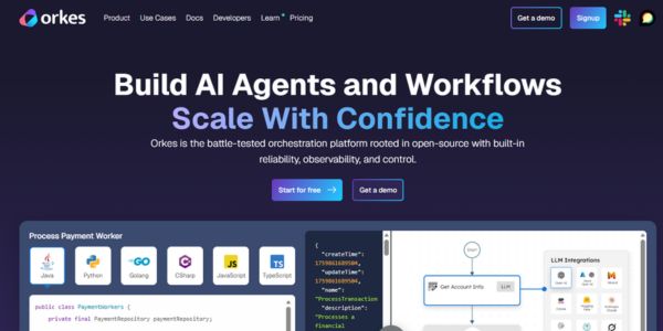
Orkes AI orchestration platform raises 60M dollars to help enterprises run reliable AI agents in production with durable workflows and governance.

Orkes Raises $60M to Orchestrate Enterprise AI Agents in Production

Orkes has raised 60 million dollars to turn its Netflix‑born workflow engine into a control plane for enterprise AI agents. The piece unpacks how its orchestration platform works, why investors are backing it now, and what this means for companies trying to move AI from pilots into production.
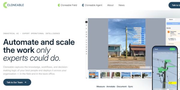
Cloneable’s agentic AI platform for infrastructure operations captures expert knowledge, automates back-office workflows, and targets aging grids, telecoms, and construction.

Cloneable’s agentic AI platform targets the infrastructure knowledge gap with $4.6M seed round

Cloneable is launching an agentic AI platform for infrastructure operations that captures institutional knowledge from retiring experts and turns it into scalable agents, targeting energy, utilities, and other asset-heavy sectors. The $4.6M seed-backed startup aims to connect field data capture with back-office execution so founders and operators can modernize infrastructure faster and with fewer bottlenecks.
futureTEKnow is focused on identifying and promoting creators, disruptors and innovators, and serving as a vital resource for those interested in the latest advancements in technology.

© 2026 All Rights Reserved.